


Unofficially named Mt. McKinley by a gold prospector taking a jab at silver miners who wanted America to be on a silver standard.
Presidential candidate McKinley supported a gold standard, while the silver miners supported the democrat candidate, who wanted a silver standard. So, the savvy gold miner started promoting and publishing the unofficial name McKinley for the mountain to support his preferred candidate, which stuck. The name was made official to honor President McKinley after he was assassinated. Since then, there have been many attempts by the Alaska Congressional delegation to change the name back to the traditional Native Alaskan name Denali, all of which the Ohio (McKinley’s home state) Congressional delegation blocked, decade after decade. Then Obama changed it officially to Denali, and now Trump has changed it back. Blah blah blah…
This is the part where I usually stop caring what the map says; however, in this case, I never cared what the map said to begin with.
The fact is, I’ve never called it anything other than Denali, and I don’t see that changing. Denali translates to ‘the great one,’ which, in my opinion, fits. Denali is easy to pronounce and spell, which is generally the deciding factor when this white guy is deciding if he will use a Native name or not. Furthermore, President McKinley had no ties to Alaska nor did anything particularly consequential for Alaska’s benefit, he literally just happened to be someone’s preferred candidate, which is about the dumbest reasoning for naming a mountain I can think of. And for the record, I’m generally against naming natural geographic features after people anyway, especially politicians.
That’s one thing the Native Americans/Alaskans did right—they weren’t so presumptuous to name shit after people. Occasionally, you might find an ‘old man’s fishing hole,’ but the man is never named, and there were likely generations of old men fishing there.
Guess how many dogs named Denali I’ve met?
Anyway, I headed north to chase the full-ish moon around Mt. Denali last week.
Denali Moon Shot
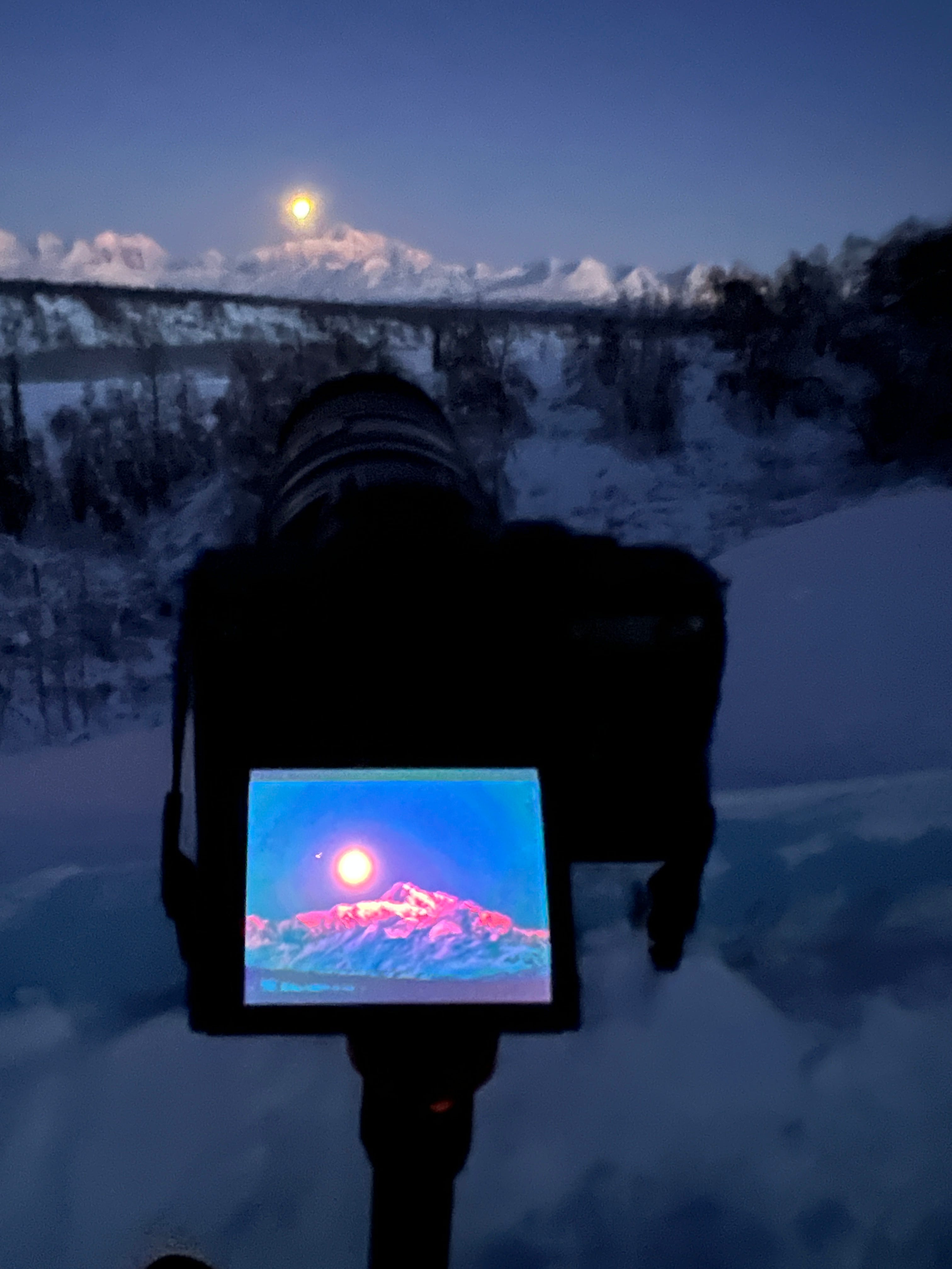
On the first morning, I caught the moon setting behind Denali, with Mars in the shot as well. The second morning, I got it setting over and above Denali. I had to do some exposure bracketing, which is taking one shot exposing for Denali, and then taking another exposing for the moon, and then I’ll combine them when editing. I’ll talk more about that when I post the finished photos in an upcoming newsletter.

We have no snowpack around our house, but it was about three feet deep and hard enough for me to walk around on up there. I'm going on four months with my snowshoes sitting unused on my back seat this winter. I put my snow plow and snowblower back in storage, hoping to jinx up a few blizzards. We’ll see what happens.
Anyway, I’ll probably get those photos sorted and start editing sometime this weekend.
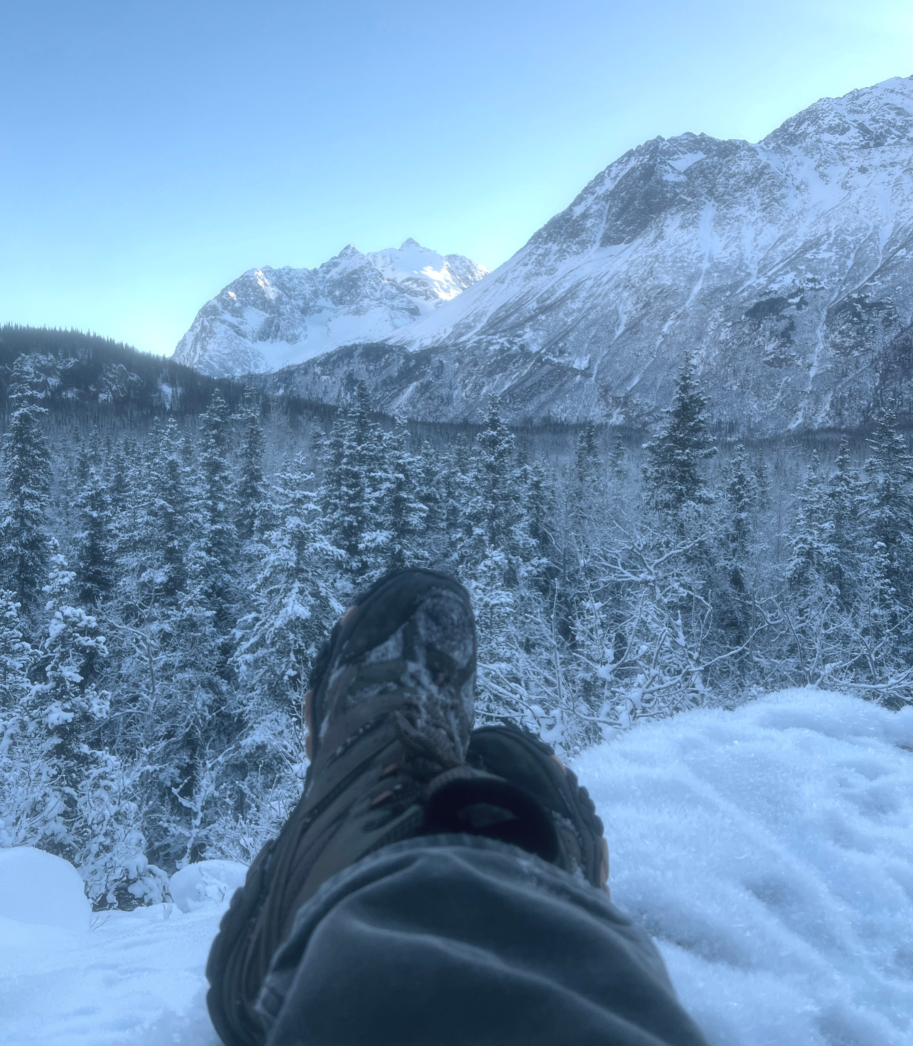
Crow Pass Trail
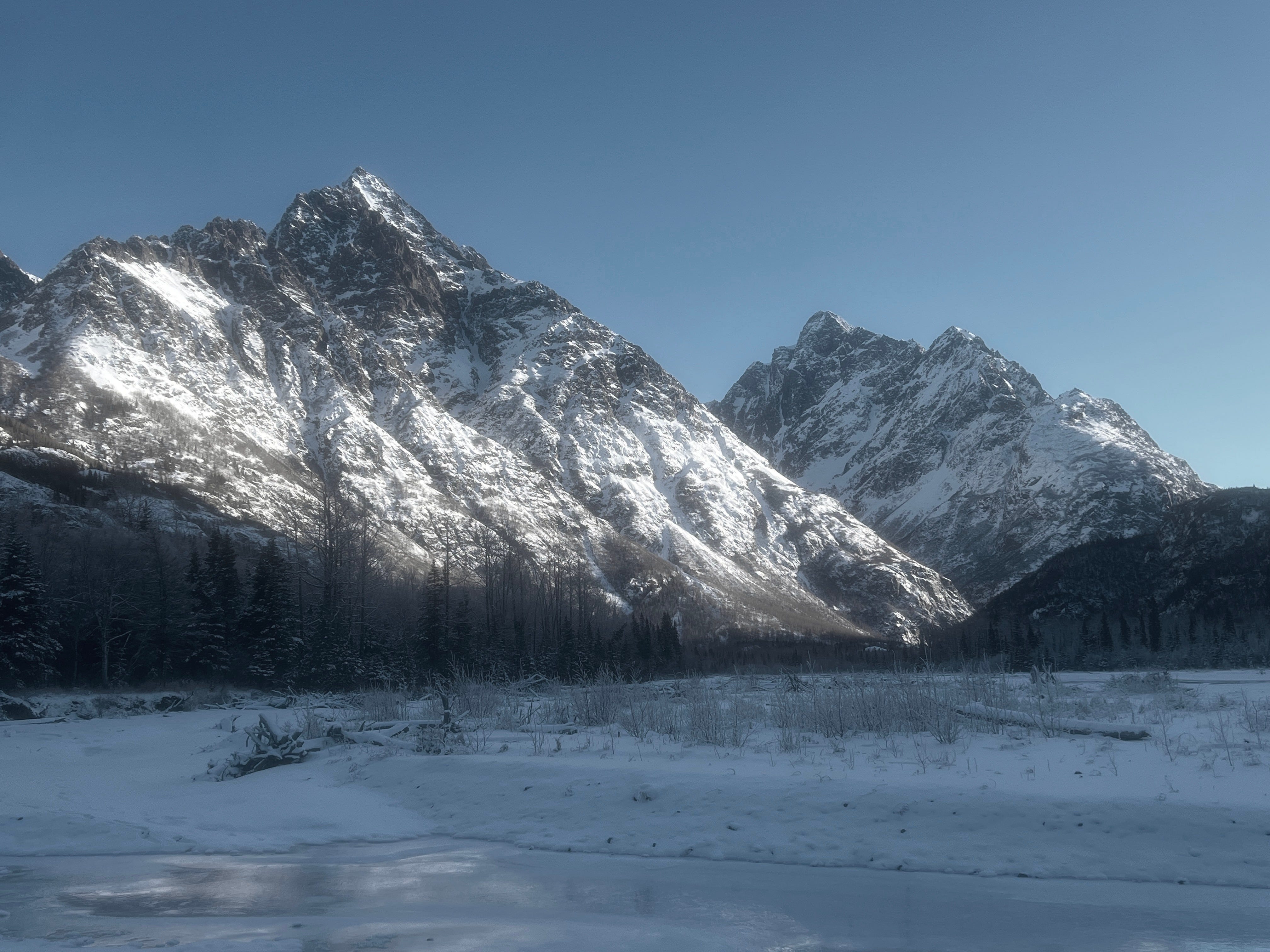
I’ve been getting out, but not as much as I’d like, which will likely always be the case. The local trails are primarily hard crust snow or dirt. There is no snow in the surrounding woods, so wandering off-trail to look for pictures is relatively easy. The lack of snowpack makes me wonder what kind of fire season we will have this year. Sure, other factors are involved, but no snowpack is a good start to a bad fire season.
I’ve been editing these iPhone photos with Substacks photo editor. It’s basic but seems to be doing just fine with basic edits. I’ll play with it some more.
I’m posting my first video in this newsletter, and it looks like I need to start shooting horizontal videos for substack. We’ll see what this video looks like when I publish this.
South Fork Falls
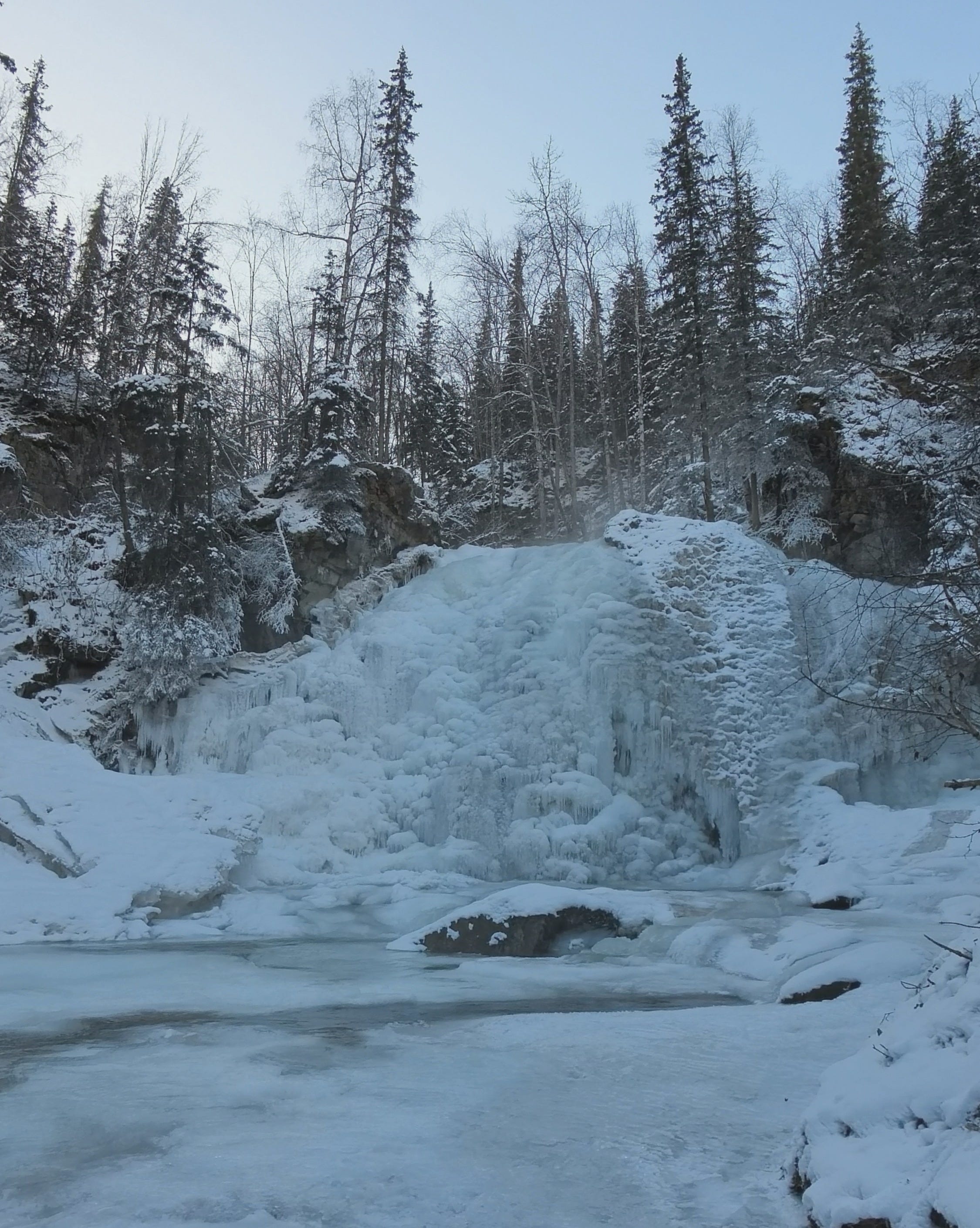
One of my favorite waterfalls is South Fork Falls, which is only a ten-minute drive and then another ten-minute hike from my house. I’ve been coming here since the 80s. With all of these thawing cycles we’ve been having, I like to check on this waterfall when things freeze back up to see if any cool new ice formations worth photographing have formed. It’s best to catch it partially frozen, but in this case, the falls completely froze back up in less than twenty-four hours.
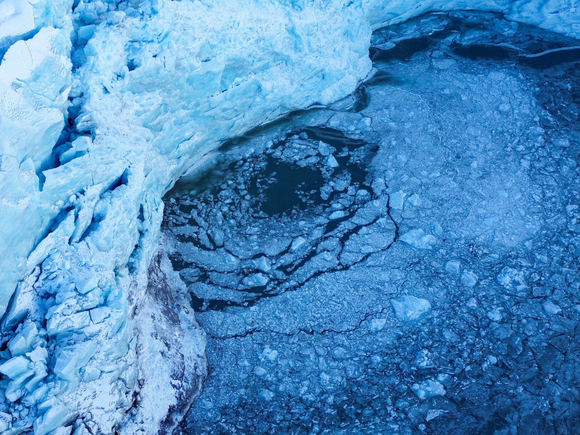
Portage Glacier
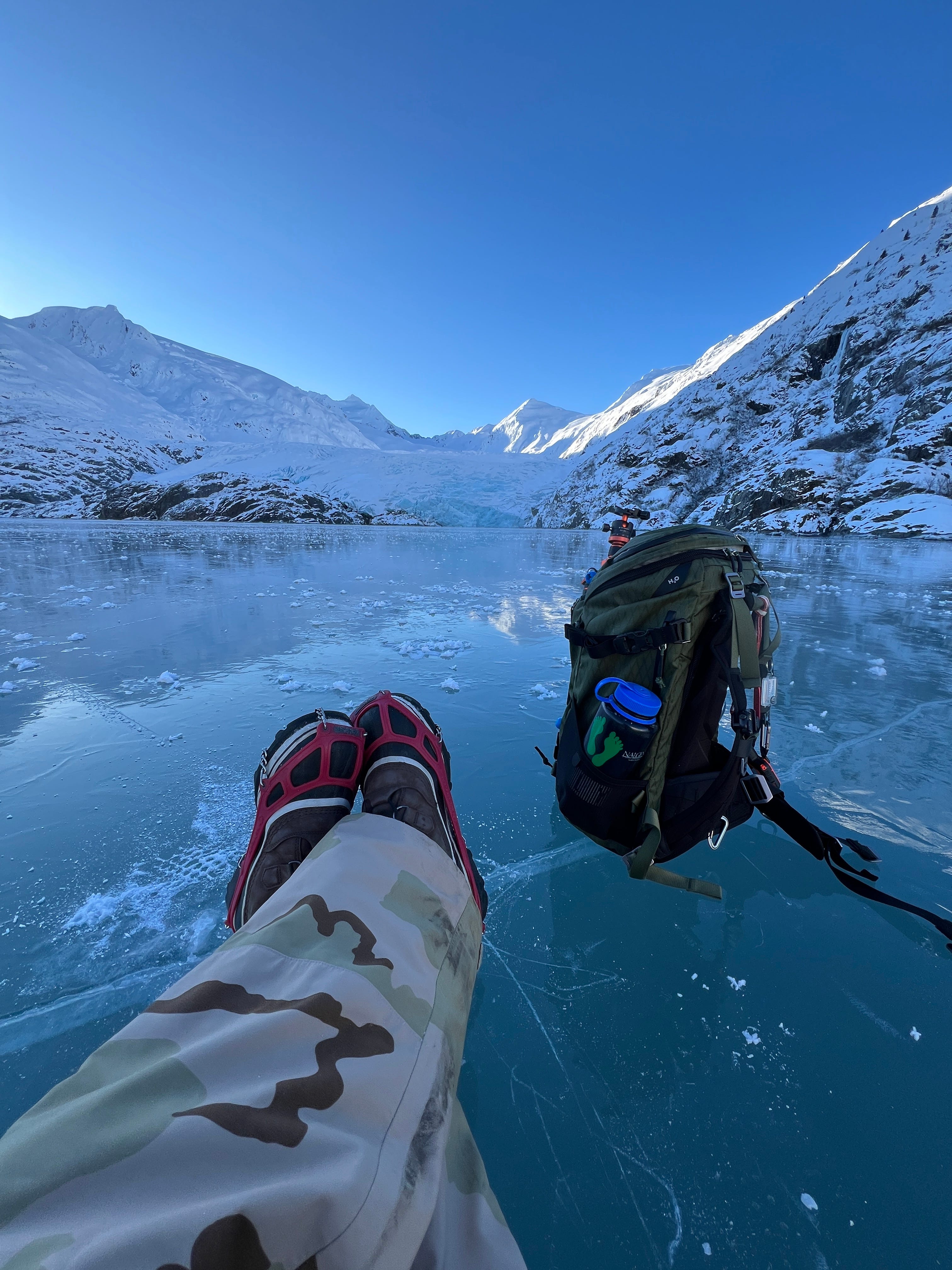
Portage Lake finally froze up, providing easy access to Portage Glacier, so I went. I do this hike two or three times each winter now. Most people ice skate or fat tire bike the three miles out to it. If there’s a layer of snow, the skiers will show up. I have skates, but I always hike because I’ve learned I find better photographs more often the slower I go.
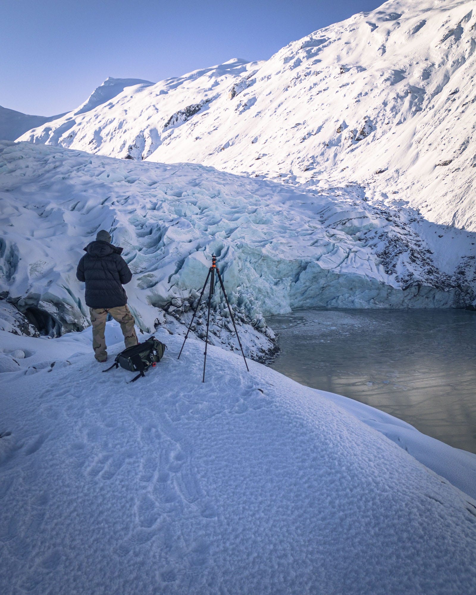
The photo above and below shows the right face, which comes right down into the lake. I’ll get a little closer on foot, but not by much. It calved off into the lake, shattering the lake ice immediately around it, and stranded a few people up on the rocks three days after I took this photo. The left face, barely visible on the left edge of the above image, is on dirt, and I’ll walk right up to it.
Here’s an article about the calving event that got everyone’s attention.
I was planning to hike there again today with the kids, but it looks like the wind (and rain?) is breaking up the lake ice, so here I am with you.
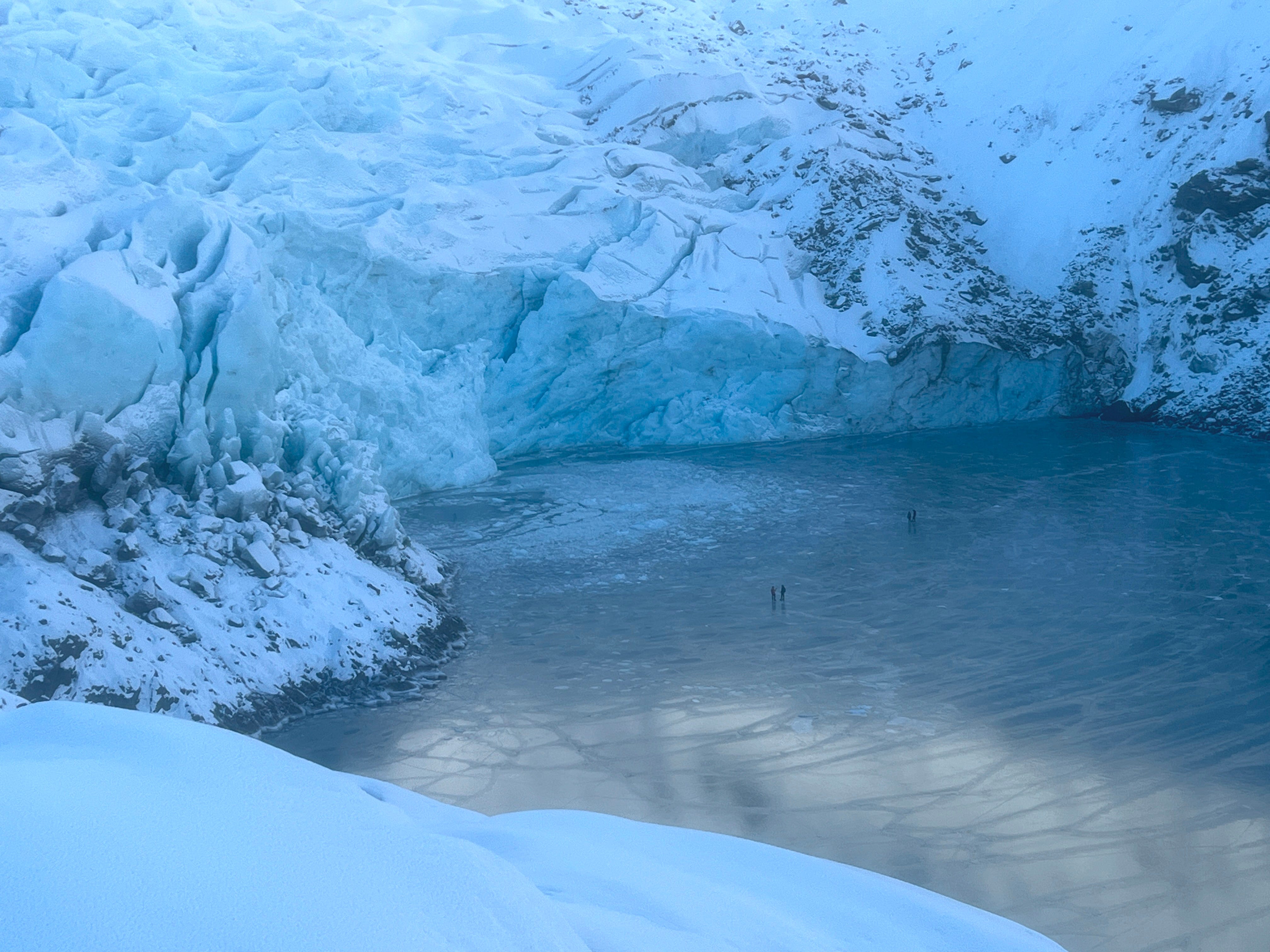
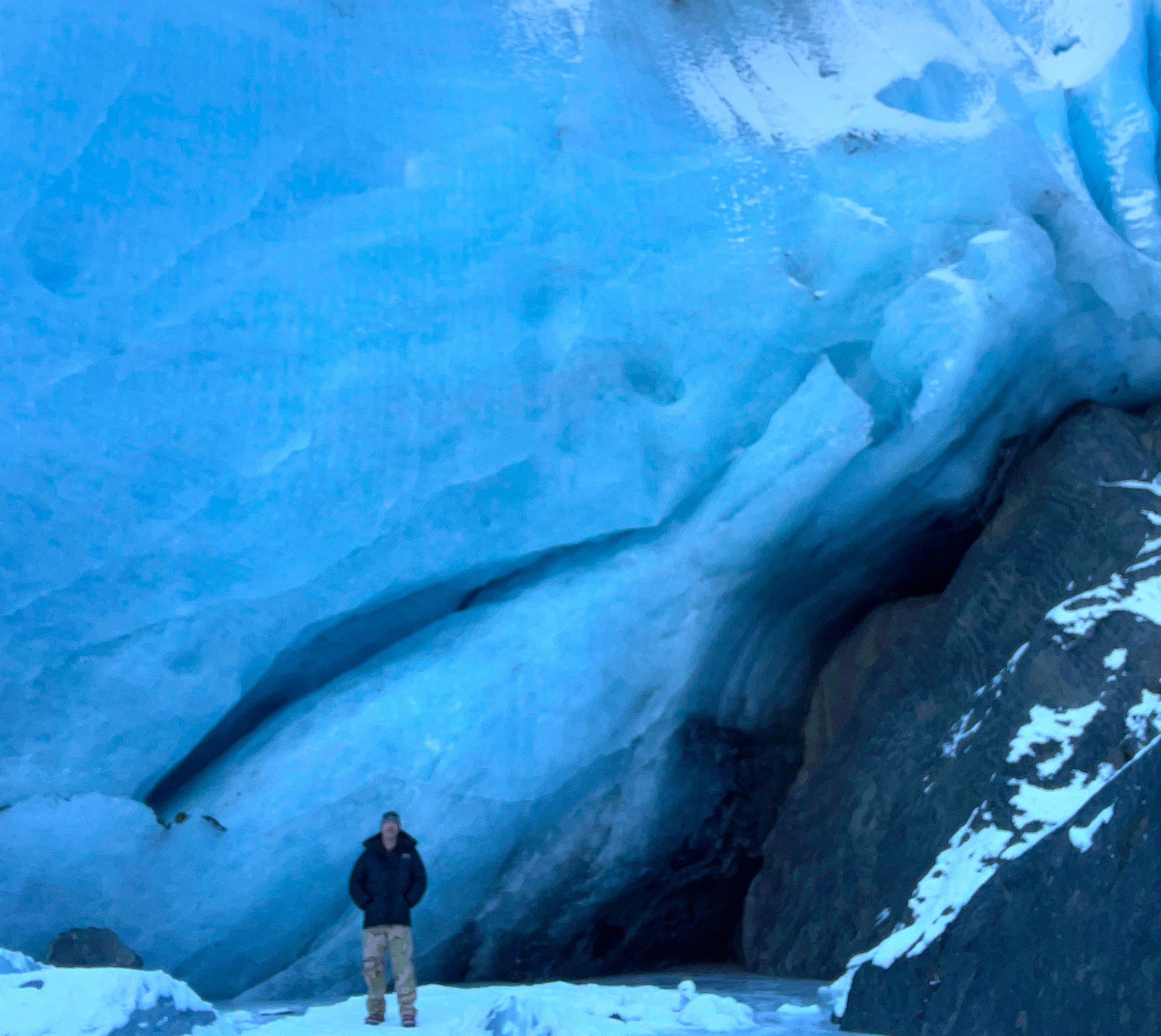
I climbed up the big jumble of loose rock, boulders, and bedrock that separates the left and right faces to find this vantage point. If you look closely, you can see several ice skaters down there. People on ice skates can quickly escape if it calves, but I often see people walk right up to it on foot. I can’t honestly say that a younger me wouldn’t have walked right up to it either though. I think some people know the risk and accept it, while others might think/assume glaciers only move and calve off when melting in the summer sun, without realizing that gravity is still dragging these rivers of ice downhill in winter.
I returned from this hike with some nice pictures, but those will have to wait for now. I like to let the good stuff percolate for a while.
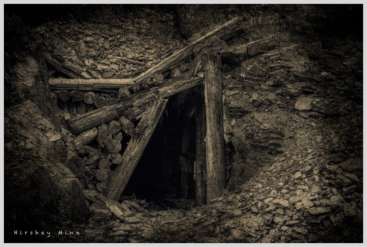
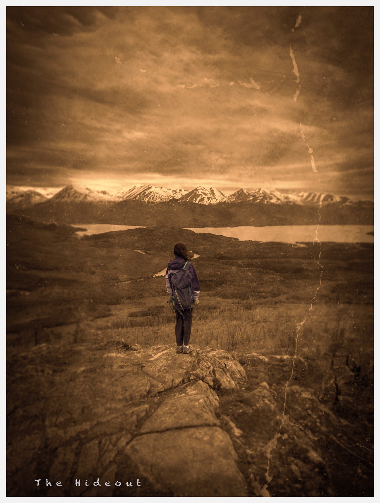
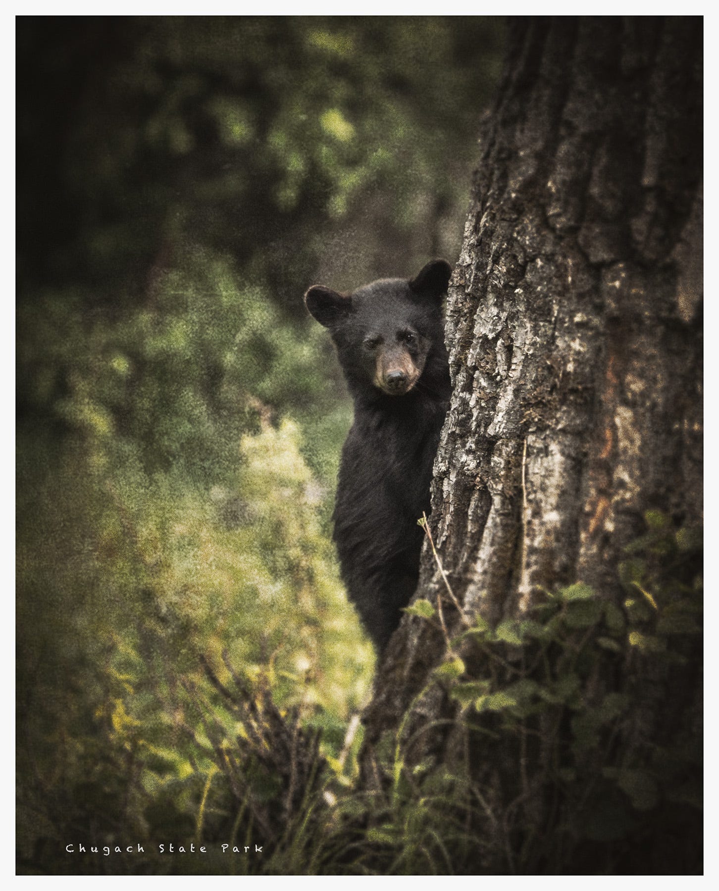
Recent Edits
And that’s a wrap for this week!
Happy trails, and thank you for being here
Sean Mitchell
Eagle River, Alaska
I like Denali since it is more representative of the region
Beautiful scenes.